From Villanders to the Villanderer Alm
Gentle forest roads, scenic high-altitude trails, wild trails: the most beautiful bike tours!
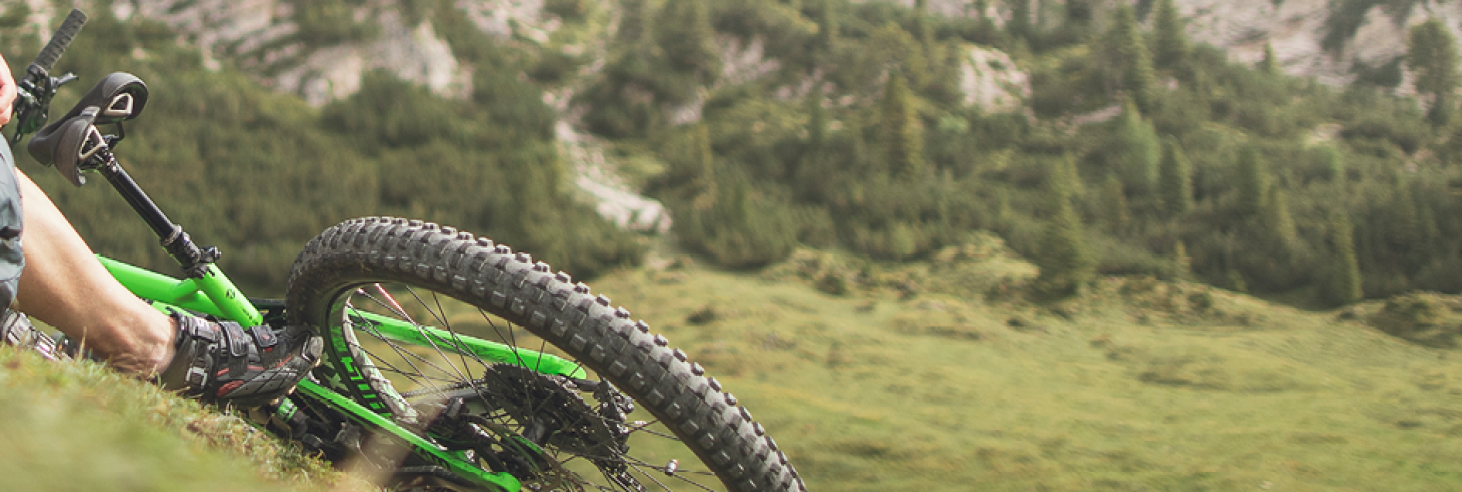
The Villanderer Alm awaits you as a true cycling paradise! Here you can properly exercise your bikes and feel like the kings of the pedals. And the best part for everyone with a built-in tailwind: right at Stöffl, there's a charging station for your e-bikes! It will be challenging, of course! But hey, who wants a tour that feels like a Sunday morning stroll to the bakery? And don't forget: those who laugh enjoy the mountain more.
Tip:
Don't forget enough water, snacks (that provide energy, not just taste good), sunscreen (you don't want to look like a boiled lobster, do you?), a map (in case your GPS goes on strike and you don't want to ask the cows for directions), and a good mood (which, as we know, helps overcome any exertion – at least for the first few hours).
Important details:
Depending on your fitness level, we recommend these loops:
Moderately Difficult Option: Stöffl Loop from Villanders to Villanderer Alm = the most direct route: approx. 26 km, 850 m
altitude difference We recommend the Speckboden car park as the starting point (or alternatively the one at the Gasserhütte by the reservoir). From there, you'll head directly up to Stöffl. After a good refreshment, return to the crossroads and turn in the other direction. You'll soon reach the Rafuschgel Alm and if you continue, the trail over the Totenrücken (Trail No. 16). Descend to the Pfroder Alm and return to the Stöffl-Rafuschgel fork. From there, return to the starting point.
Length: 19.4 km
Altitude Difference: 740 m
Difficult Option: Suspension Bridge Loop from Villanders to Villanderer Alm
From the village of Villanders to the Samberg bus stop (or take the bus directly there). Alternatively, the starting point can be the car park near the reservoir (Gasserhütte), also known as the Saltnerstein car park. Here, you'll have to pedal uphill a bit at the end. In any case, you'll first continue towards the Villanderer Alm and the Gasteiger Sattel, then traverse the alpine area following the paths all the way to the Merlboden (where the Merlbodenmoos biotope and a wonderful Dolomite panorama await you). Then head towards Oberhornalm and, if desired, to the Rittner Horn. Descend to the Earth Pyramids and to Lengstein, via St. Verena and Saubach you will finally reach the suspension bridge, which must be crossed. Finally, through the Barbian village center, and then – depending on where you parked – back to the starting point. Of course, you can also do this loop in reverse and first go to Barbian, cross the suspension bridge, and then pedal up to the Alm from Ritten.
Length: approx. 44 km
Altitude Difference: 1,580 m